Everything is on the map here: the 16 German and 9 Austrian federal states, the 26 cantons of Switzerland, 44 European states, the 7 continents of our planet ... There are also finely detailed overall maps of Germany, Austria, Switzerland, Europe and the entire world, each in two different representations. You can copy the individual areas into your design and then scale them as you wish. Of course, it is also possible to adjust the colors according to your wishes.
Vector-based, freely scalable maps in the formats AI, EPS, INDD, IDML, also as PSD
Map of Germany with all federal states
Maps of Austria, Switzerland, Europe and the whole world
Federal states of Austria; cantons of Switzerland; many European states; continents
Two representations each: with borders as contours and with areas varying in color, color customizable
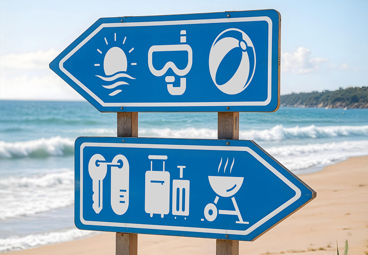
Map material for your designs: It's so easy to create signposts! Bring the whole world to you!
content
Details of the content
Vector-based maps
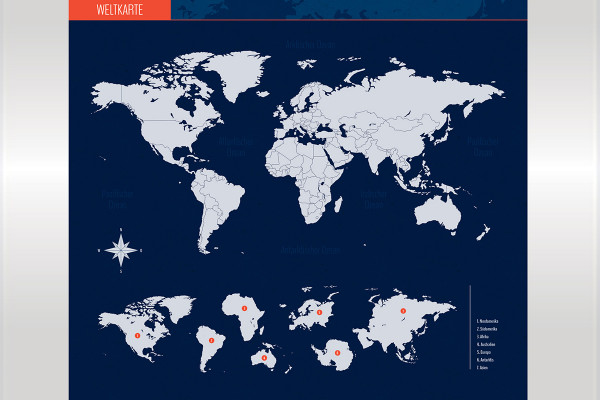
Vector-based maps: World, Continents
Map material for your designs - visualize the location of a company, show where companies are active everywhere, or put your collected information in one place. You receive a world map in two representations, plus the continents. You can copy the individual areas into your design, scale them as you wish and, for example, add dots to indicate a specific location. Of course, it is also possible to adjust the colors according to your wishes so that the map fits harmoniously into your website, flyer, roll-up or infographic.
Vector-based, freely scalable maps in the formats AI, EPS, INDD, IDML, also as PSD
World map with individually usable areas of the continents, the countries are also available in individual layers
Two representations: with borders as contours and with areas varying in color, color customizable
Put it on the map - it's that easy to design signposts!
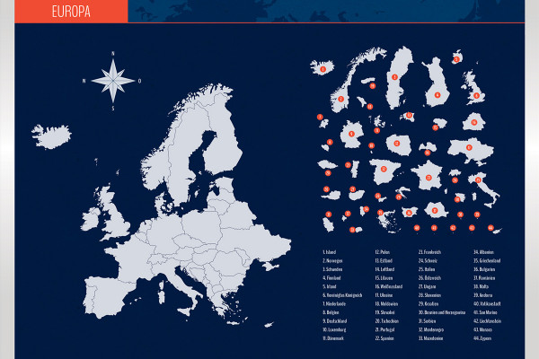
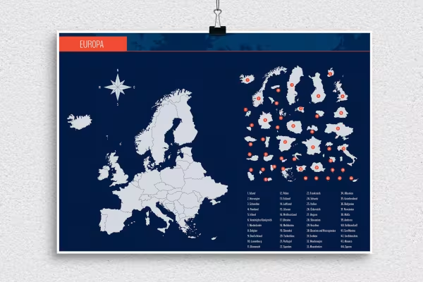
Vector-based maps: Europe, countries
Map material for your designs - visualize the location of a company, show where companies are active everywhere, or place your collected information in the right place. You receive a map of Europe in two representations, plus the areas of numerous European countries. You can copy the individual areas into your design, scale them as you wish and, for example, add dots to indicate a specific location. Of course, it is also possible to adjust the colors according to your wishes so that the map fits harmoniously into your website, flyer, roll-up or infographic.
Vector-based, freely scalable maps in the formats AI, EPS, INDD, IDML, also as PSD
Map of Europe with individually usable areas of a total of 44 countries
Two representations: with borders as contours and with areas varying in color, color customizable
Put it on the map - it's that easy to design signposts!
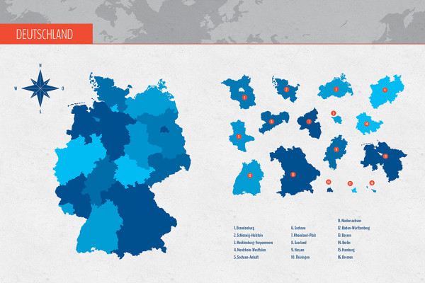
Vector-based maps: Germany, federal states
Map material for your designs - visualize the location of a company, show where companies are active everywhere, or put your collected information in one place. You will receive a map of Germany in two representations, plus the areas of all 16 German federal states. You can copy the individual areas into your design, scale them as you wish and, for example, add dots to indicate a specific location. Of course, it is also possible to adjust the colors according to your wishes so that the map fits harmoniously into your website, flyer, roll-up or infographic.
Vector-based, freely scalable maps in the formats AI, EPS, INDD, IDML, also as PSD
Map of Germany with individually usable areas of the 16 federal states
Two representations: with borders as contours and with areas varying in color, color customizable
Put it on the map - it's that easy to design signposts!
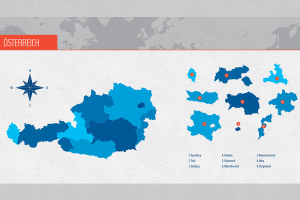
Vector-based maps: Austria, federal states
Map material for your designs - visualize the location of a company, show where companies are active everywhere, or place your collected information clearly in the right place. You will receive a map of Austria in two representations, plus the areas of all 9 Austrian federal states. You can copy the individual areas into your design, scale them as you wish and, for example, add dots to indicate a specific location. Of course, it is also possible to adjust the colors according to your wishes so that the map fits harmoniously into your website, flyer, roll-up or infographic.
Vector-based, freely scalable maps in the formats AI, EPS, INDD, IDML, also as PSD
Map of Austria with individually usable areas of the 9 federal states
Two representations: with borders as contours and with color-varying areas, color customizable
Put it on the map - it's that easy to design signposts!
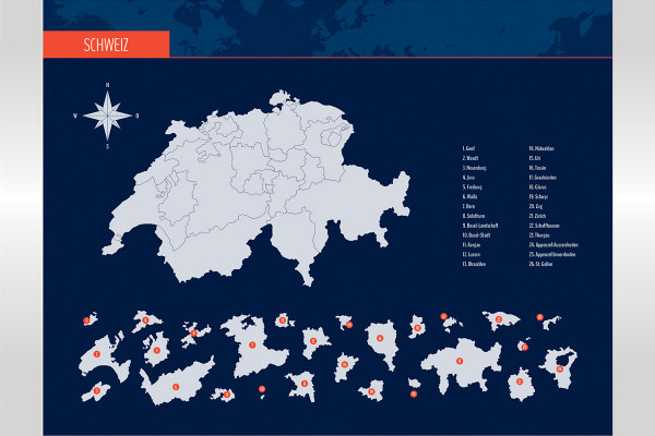
Vector-based maps: Switzerland, cantons
Map material for your designs - visualize the location of a company, show where companies are active everywhere, or place your collected information in a clear location. You will receive a map of Switzerland in two representations, plus the areas of all 26 cantons. You can copy the individual areas into your design, scale them as you wish and, for example, add dots to indicate a specific location. Of course, it is also possible to adjust the colors according to your wishes so that the map fits harmoniously into your website, flyer, roll-up or infographic.
Vector-based, freely scalable maps in the formats AI, EPS, INDD, IDML, also as PSD
Map of Switzerland with individually usable areas of the 26 cantons
Two representations: with borders as contours and with color-varying areas, color customizable
Put it on the map - it's that easy to design signposts!
Vector-based maps: World, Continents
Vector-based maps: Europe, countries
Vector-based maps: Germany, federal states
Vector-based maps: Austria, federal states
Vector-based maps: Switzerland, cantons
Bonus: Icons for marking
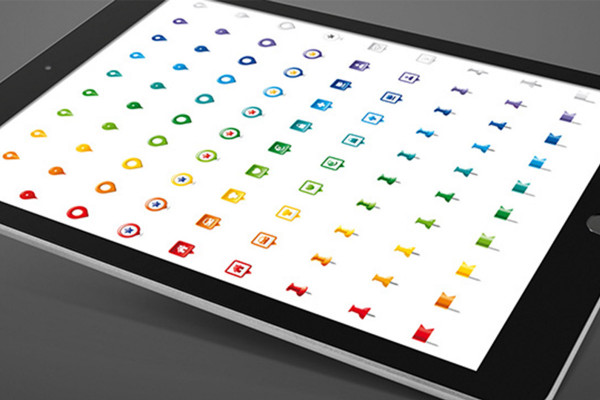
Icon set for marking locations on maps
Nine icons for displaying locations on maps:
10 color variants each
AI, EPS, PNG and SVG files
for Illustrator, Affinity Designer
for common vector and layout programs
Icon set for marking locations on maps
Examples of use
Open gallery
Example: You will receive an overall map and the partial areas (in two designs)
Open gallery
Example: Select the card and add it to your design along with your information
Open gallery
Example: Ideally suited for print products (such as roll-ups or posters) and for the web
Open gallery
Example: The vector-based graphics allow you to scale the cards freely
Open gallery
Example: All federal states of Austria and Germany, all cantons of Switzerland are included
Comments (2)
Comment now „Maps: World, Europe, Germany, Austria, Switzerland“





 Example: You will receive an overall map and the partial areas (in two designs)
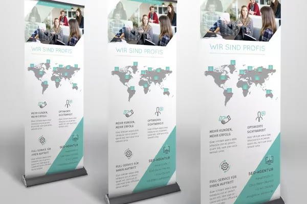 Example: Select the card and add it to your design along with your information
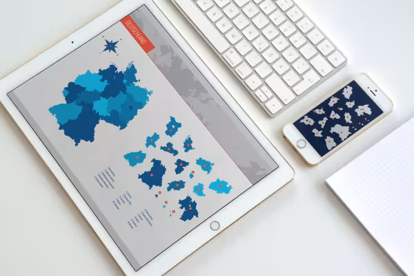 Example: Ideally suited for print products (such as roll-ups or posters) and for the web
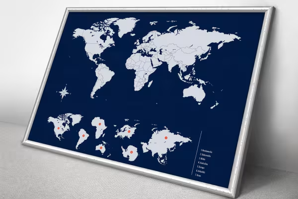 Example: The vector-based graphics allow you to scale the cards freely
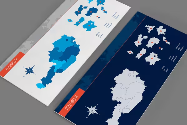 Example: All federal states of Austria and Germany, all cantons of Switzerland are included

Comment now „Maps: World, Europe, Germany, Austria, Switzerland“