
Map of Saxony with counties

- Map of Saxony with maps of the 10 administrative districts and 3 independent cities
- You can also use the regions from Bautzen to Zwickau individually
- With markings of 64 cities that you can show and hide individually
- Two designs per card: with borders as an outline and with varying colored areas, color customizable
- Maps Saxony for Illustrator (AI), Photoshop (PSD), common vector programs such as Affinity Designer (EPS, SVG)
- High-resolution PNG files for common editing programs
Whether it's a website, brochure or flyer - get Saxony cards and add them to your designs with ease and in matching colors.
content
4 items
Map Saxony


Bonus: Icons for marking

Examples of use
-
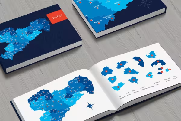 Create individual maps for your designs with the maps of Saxony.
 -
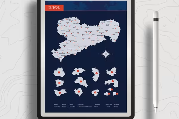 You can freely customize and edit the maps of Saxony.
 -
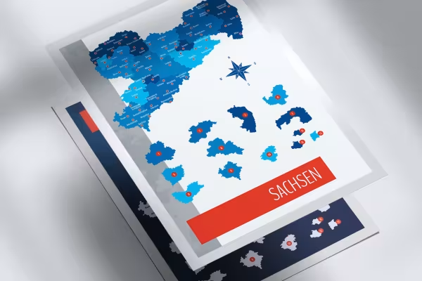
 Show all of Saxony or only selected regions.
 -
 You can show and hide the markings of the cities in Saxony individually.
 -
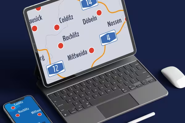
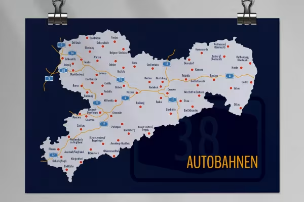 You can also access the map with the highways in Saxony.
 -
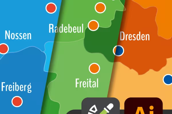 In Illustrator, you can easily change the colors of the Saxony cards using color swatches.
 -
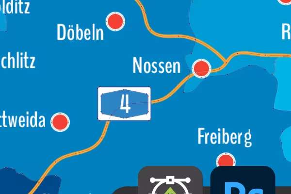 The maps of Saxony also offer you outstanding vector quality in Photoshop.
 -
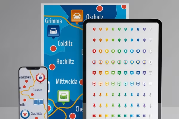 Use the icons also included to mark the location.
Other users are also interested
You might also like
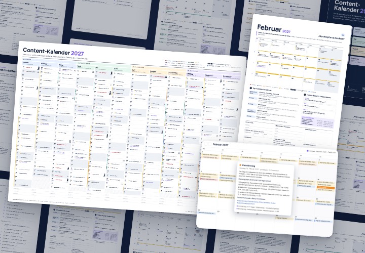
Content Calendar 2027 for Social Media | TutKit.com
277 occasions with 3 post ideas each, wall planner A2/A1, monthly calendar A4, Excel database, calendar file, and bonus tools

Infographic templates & diagrams for technology & B2B | TutKit
48 editable chart templates in SVG, PDF, EPS, PNG, and PowerPoint – in under a minute in the customer’s corporate identity

500 Beverage & Gastro Icons in SVG, EPS, PNG
10 sets of 50 vector icons in line and duotone, available in SVG, EPS, and PNG
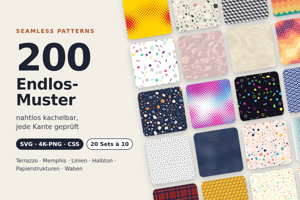
200 endless patterns as SVG, 4K PNG & CSS | TutKit.com
20 sets of 10 seamless patterns: Terrazzo, Memphis, lines, halftone, paper textures, and honeycombs
Comment now „Map of Saxony with counties“